

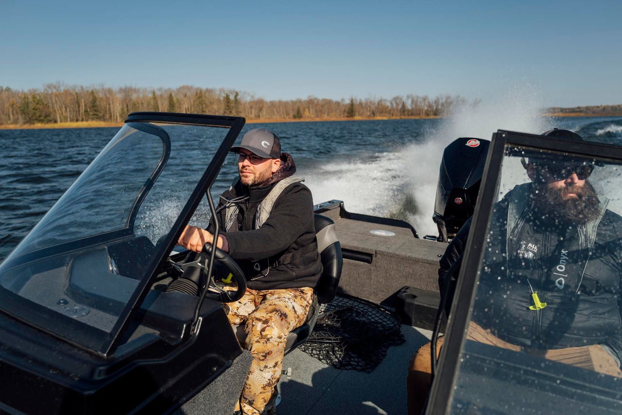
Boat Navigation Tips
The information provided is for general informational purposes only. This information is based on the author’s personal experience and does not constitute financial or legal advice. You should consult with a professional and/or conduct your own independent research to verify any information in this post prior to making a financial decision or otherwise.
Thanks to modern technology, going from point A to B on your Crestliner boat is easy. But for those new to boating or boaters who have only cruised on known, home waters, there are still a few things to learn to keep everyone safe when navigating unfamiliar waters.
Plotting Your Route
A multifunction display (MFD) is an electronic screen that combines sonar, which measures depth, with an electronic chart. To use your MFD to plot your route, drag the cursor to where you want to go to create a waypoint. This will add a line on the screen for you to follow. Stringing several waypoints together creates a route that allows you to skirt obstructions and follow the straightest path to a destination.
Read your MFD’s manual and watch online tutorials to best learn how to use it. Also having a paper chart on board when navigating a boat in a new area is a good idea in case the electronics fail.
Channel Markers & Buoys
Unlike roadways—where clear road markings keep cars traveling in an orderly fashion—there are no lines on the water to indicate where boats should drive. The exception is marked channels that direct boaters to help keep them in navigable waters.
Most official channel markers are either red or green. Remember the phrase “red, right, returning” to know which side of the buoy or fixed marker head toward. In most places, going from a larger body to a smaller one means the boat is returning, so the driver should keep the red markers on their right and green to the left when heading back into their harbor. In addition, most official channel markers are numbered, which helps determine a boat’s location on a chart.
Informational buoys or signs are usually white with orange lettering. Signs featuring a crossed diamond warn of an obstruction such as a shoal or submerged breakwater in an otherwise deep body of water. Signs with a rectangle give local information and those with a circle indicate a speed zone.
Reading the Water
Learning how to navigate a boat around obstructions in clear water, like when on vacation in the Florida Keys, is easy if you remember a few key phrases. Look to the water’s color to help you stay safe.
Brown, brown, run aground: Avoid brown water since it means a coral reef or rocks are near the surface.
White, white, you just might: The water may look white in shallow areas with a sandy bottom. Depending on a boat’s draft, the hull could bump the bottom or become grounded.
Green, green, nice and clean: When cruising in tropical waters, the color green usually indicates deeper water, but this isn’t a guarantee in inland waters. Always exercise caution and slow down when you’re unsure of the water’s depth.
Blue, blue, sail on through: Blue indicates deep water, and its presence means it’s safe to travel on plane while keeping an eye out for floating obstructions in your Crestliner boat’s path.
This website does not provide financial or legal advice. The information available on this website is provided for general informational and educational purposes only and is not a substitute for professional advice. You should consult with the appropriate professionals prior to making any financial decisions. YOUR USE OR RELIANCE ON ANY OF THE INFORMATION PROVIDED HEREIN IS SOLELY AT YOUR OWN RISK. UNDER NO CIRCUMSTANCE SHALL WE HAVE ANY LIABILITY TO YOU FOR ANY LOSS OR DAMAGE OF ANY KIND INCURRED AS A RESULT OF THE USE OR RELIANCE ON ANY INFORMATION PROVIDED.